
Centreville ZIP Coverage
The Centreville ZIP code directory follows Census geography for Centreville, not a claim that one post office or municipal boundary governs every address. Centreville is an unincorporated Fairfax County census-designated place. Census data for Centreville identifies five ZIP Code Tabulation Areas, or ZCTAs, that fully or partly intersect its boundary. A ZCTA is a Census approximation of a ZIP geography, so an exact mailing address still needs separate validation.
| ZIP | Areas Covered | Post Office | Notes |
|---|---|---|---|
| 20120 | Centreville and Chantilly-area addresses, including portions of the CDP | Verify the exact station in USPS Lookup | Centreville CDP intersection, not a municipal boundary |
| 20121 | Centreville-area addresses | Verify the exact station in USPS Lookup | Fairfax materials label this a Centreville delivery area |
| 20124 | Centreville, Clifton-border, and western Fairfax addresses | Verify the exact station in USPS Lookup | Centreville border postal city can differ from CDP label |
| 20151 | Chantilly-area addresses and part of the Centreville CDP edge | Verify the exact station in USPS Lookup | Not every address lies in Centreville |
| 22030 | Fairfax and City of Fairfax-area addresses, plus part of the Centreville CDP edge | Verify the exact station in USPS Lookup | ZIP alone cannot establish Centreville jurisdiction |
This coverage does not create five Centreville municipal ZIP codes. It records the areas that intersect the CDP. The Centreville ZIP code directory is most useful as a starting map for Centreville delivery context, then as a prompt to check the exact address, parcel, and jurisdiction through official tools.
Centreville ZIP Delivery Labels
A delivery label and a local jurisdiction answer different questions. Centreville has no city clerk, city assessor, or municipal court because it is part of Fairfax County. The independent City of Fairfax is the county seat, yet it is a separate jurisdiction. That Centreville distinction matters most with 22030, which can carry a Fairfax label without proving that a Centreville-area address is in the City of Fairfax.
The same issue appears at the other edges. An address in 20151 may carry a Chantilly label even when it intersects the Centreville CDP. Conversely, a familiar Centreville postal label does not prove CDP membership. Record the county, Centreville postal city, Centreville ZIP, parcel, and place geography separately when comparing documents.
This Centreville distinction avoids a common routing error. An address can be physically in Fairfax County, use a postal label associated with a neighboring place, and still require the Fairfax County assessor, GIS, or court records for Centreville. The reverse is also possible at a CDP edge. Before selecting an agency, compare the confirmed street address with MAR, the parcel, and the jurisdiction shown by the county mapping tools.
Validate Centreville ZIP Delivery
Use two Centreville systems before relying on a delivery code. The United States Postal Service verifies the mailing city, state, and ZIP for an exact Centreville address. Fairfax County’s Master Address Repository, called MAR, validates the current site address and street name, and connects address and parcel information. USPS answers the mailing question. MAR answers the county-address question. Neither replaces a deed’s legal description or a parcel record.
The USPS ZIP Code Lookup is the official postal verifier for a full Centreville address or a city-and-state search.
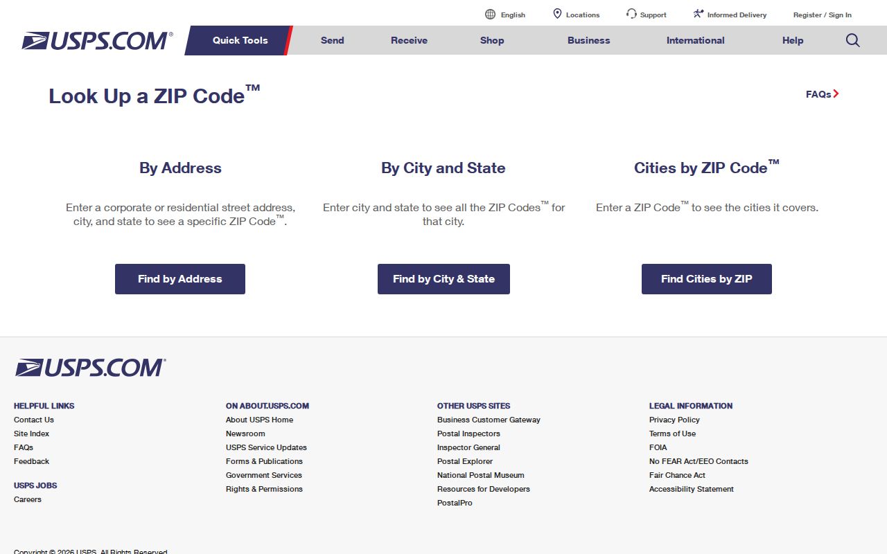
The live field labels and response details were not confirmed during research, so check the current USPS form rather than relying on a fixed interface description. Compare its Centreville mailing result with Fairfax GIS and MAR before treating a ZIP as a location filter.
Finding Residents Within a Centreville ZIP
A Centreville ZIP is not a resident roll. Fairfax iCare is street-oriented rather than an exposed ZIP-filter form, so use a validated ZIP to narrow the area and then search the known street, number, owner name, or tax-map number. Voter status is also not a ZIP-wide personal lookup. The Citizen Portal is for an individual’s authenticated status, while statutory voter products use permitted geographic filters such as locality or election district.
- Verify the exact Centreville mailing ZIP with USPS, then save the returned postal city and state as delivery information.
- Check the Centreville address in MAR to confirm the site address, street spelling, and parcel relationship in Fairfax County.
- Use Jade or My Neighborhood to view Centreville ZIP and administrative layers around the address, then identify the relevant parcel or road segment.
- Search Centreville iCare by address, owner, or tax map. Treat an owner result as tax-record information, not a list of everyone at the site.
- For a Centreville record that is keyed to a case, precinct, or legal description, continue with that native identifier instead of forcing a ZIP match.
Once the delivery area is narrowed, the Centreville street directory handles the Centreville street-by-street property chain. Keep the ZIP as context, not as proof of a resident, parcel boundary, court jurisdiction, or historical address.
The Centreville workflow also prevents an address mismatch from spreading across records. A deed is keyed to grantor, grantee, and legal description. A court record is keyed to a case and party. A voter record follows registered residence and precinct rules. A permit can be keyed to its site address or parcel. When two sources disagree, compare their dates and native identifiers before deciding that they refer to the same Centreville place.
Centreville ZIP Address Search Fields
Fairfax Land Development Services PLUS is the local portal with a Centreville ZIP-capable address search. It accepts site address, street components, city, state, ZIP, parcel, project or record details, date criteria, and named parties. It can help locate a Centreville land-development record at a validated place. It does not turn a ZIP into a household inventory, and the research did not confirm a stable public result-column set from the live portal.
| PLUS field | Use in a ZIP-focused search | Limit |
|---|---|---|
| Site address or street components | Refines a verified Centreville place within the postal area | Street text is stronger after MAR validation |
| City, state, and ZIP | Supplies Centreville delivery geography with the address | Does not establish a CDP or jurisdiction boundary |
| Parcel ID | Connects a Centreville project to the county’s parcel record | Use the exact tax-map reference where available |
| Project, record, or date | Narrows a known Centreville land-development inquiry | It is not a person-search field |
The iCare address form is a better next step for a Centreville property search after the street is known.
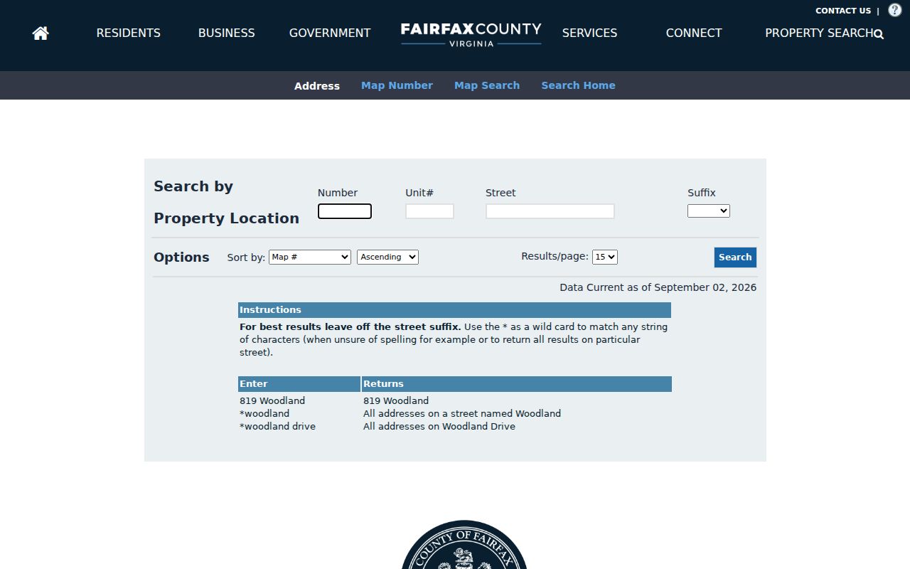
Centreville iCare’s number, unit, street, and suffix fields, plus its street wildcard, fit address work rather than a ZIP-wide roll. Its owner, mailing, situs, parcel, assessment, and sales information must each be read in the context of a tax record.
PLUS adds a separate Centreville address-keyed layer for land-development records. A result may identify a project, record type, dates, applicant, owner or developer, contractor, architect, or contact, depending on the record. Those roles describe a filing connection. They do not establish who occupies an address, and the live public result details should be checked before relying on a particular display field.
Centreville ZIP Geography by Numbers
The Census 2020 profile records Centreville as a 73,518-person CDP spanning 11.9 square miles. Those Centreville numbers describe a Census place, not a postal service area or a directory total. The five intersecting ZCTAs are a useful geographic fact precisely because they show how one named community can overlap delivery areas with Centreville, Chantilly, and Fairfax labels.
The Fairfax GIS Jade map route for Centreville provides parcel, ZIP, administrative-boundary, district, and historic-imagery layers for comparing those geographies.
Map layers are visual aids. For a Centreville address-to-parcel question, compare them with MAR and iCare. For an easement or ownership question, use the recorded deed because GIS displays do not replace the court’s land records.
Centreville ZIP Boundaries and CDP Edges
Centreville’s CDP edges and ZIP boundaries do not match. The most visible Centreville mismatch is that 20151 can be labeled Chantilly and 22030 can be labeled Fairfax while both intersect the CDP. The City of Fairfax is a separate independent city, so a 22030 mailing result must never be used by itself to choose a court, assessor, or public-records office. Centreville records follow the Fairfax County chain unless the verified address lies in another jurisdiction.
Location check. A ZIP describes delivery geography. Use USPS for mail, MAR and GIS for a current site address, iCare for parcel context, and the Circuit Court for recorded land documents.
- ZIP versus ZIP+4
- A ZIP serves a broad delivery area. ZIP+4 adds a smaller delivery segment, often for a block, building, or group of mail recipients.
- PO Box ZIP
- A ZIP assigned to post-office boxes rather than a conventional street-delivery area.
- Unique ZIP
- A ZIP used for one large organization or address. No Centreville unique ZIP was verified in the research.
- Carrier route
- A postal delivery sequence used to sort mail. It is not a property, court, voter, or Census boundary.
Centreville Addresses Before ZIP Codes
Older Centreville research needs other labels. Postal ZIP codes did not exist during the earliest deed and tax eras. Historic records may use Newgate, a road or route, farm or tract names, adjoining landowners, a subdivision lot, or a district. Fairfax land records run from 1742 forward, and historic tax books cover 1851 through 1980. A current mailing code should not be projected backward onto those sources.
For a historic address, preserve every form of the place name. Compare the legal description, plat, tax map, old owner, map tile, and directory entry. Fairfax’s historical imagery begins in 1937 and its property map books reach back annually to 1960, but imagery can date visible change and does not identify occupants.
Centreville’s older identity also appears as Newgate, a crossroads village, before later suburban growth. Early deeds may describe a tract, tavern, road, or adjoining owner instead of a modern street number. A historic map, tax book, or plat can bridge that language to a present parcel, but the comparison should remain documented rather than assumed from a modern mailing label.
No Verified Centreville ZIP Realignment
No official source inspected for this project documented a dated Centreville ZIP split, realignment, or address-renumbering event. That absence is not proof that no change occurred. For a historical mailing question, confirm the period with USPS boundary products, Fairfax GIS administrative layers, local postal history, plats, tax books, and directory material rather than assigning a year that has not been verified.